ENGLISH | JAPANESE

[ 14 stations ] Route map of Nankai Main Line [Izumisano to Wakayamashi] | TYPE-A

Create a TYPE-A route map of the Nankai Main Line [Izumisano to Wakayamashi]. In addition to existing stations and express trains, you can also add imaginary express trains and rapid trains that do not actually exist to the route map.

停車駅のご案内  Nankai Main Line Route Map 他社線のりかえ駅 Transfer Station 南海本線・空港線 Nankai Main Line, Airport Line 南海多奈川線 Nankai Tanagawa Line 南海加太線 Nankai Kada Line 紀勢本線 Kisei Main Line 南海加太線 Nankai Kada Line 南海和歌山港線 Nankai Wakayamako Line 急  行 急  行 Express あか/Red 区間急行 区間急行 Section Express みどり/Green 普  通 普  通 Local あお/Blue 泉佐野 Izumisano 羽倉崎 Hagurazaki 吉見ノ里 Yoshiminosato 岡田浦 Okadaura 樽井 Tarui 尾崎 Ozaki 鳥取ノ荘 Tottorinosho 箱作 Hakotsukuri 淡輪 Tannowa みさき公園 Misaki-koen 孝子 Kyoshi 和歌山大学前 Wakayamadaigakumae 紀ノ川 Kinokawa 和歌山市 Wakayamashi

You can use the images for free, but we do not abandon the copyright. Please use according to the terms of use. You can enlarge or reduce the image by turning the mouse wheel on the image.

Contents
Add original arrangements
Display route map
Create other types of train maps
Create a wide-area route map

Add original arrangements

Create a train map with an original arrangement, such as adding a fictitious limited express train.

  • Add original express

    When adding a fictitious express to the route map, please turn on the check of the stop station.

    Express name

  • Set current location

    Make the set station stand out as your current location.

    Current location
  • Hide transit route names. If there are many transfers, the letters will inevitably overlap and the finished picture will be dirty. If the notation is in the way, please check it to hide it.


Display route map

Press the button to create a route map with the selected conditions.

Create other types of route maps for the Nankai Main Line [Izumisano to Wakayamashi]

Create other types of train maps.
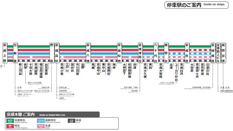
Image of route map - TYPE-B
TYPE-B
Image of route map - TYPE-C
TYPE-C

Create a wide-area route map

You can create a wide-area route map that arranges Nankai Main Line [Izumisano to Wakayamashi] stations on the map. In addition to the Nankai Main Line [Izumisano to Wakayamashi], combinations of multiple routes are also possible. Please use it when you want to highlight multiple routes on the map.
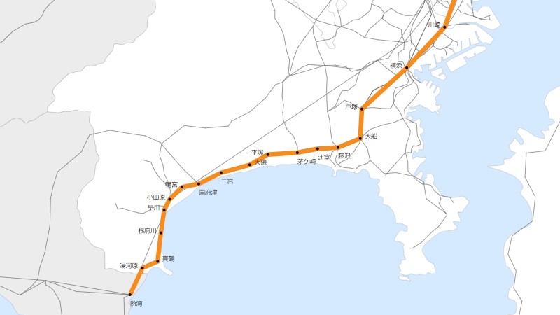
Image of wide-area route map of Kanagawa Prefecture
Create a wide-area route map
Image of transfer route map in Osaka
Create a transit map
Go to top screen.