Add original arrangements
Create a train map with an original arrangement, such as adding a fictitious limited express train.
Display route map
Press the button to create a route map with the selected conditions.
Create other types of route maps for the Nankai Main Line, Airport Line
Create other types of train maps.
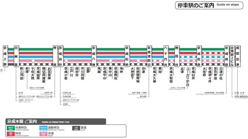 TYPE-B
 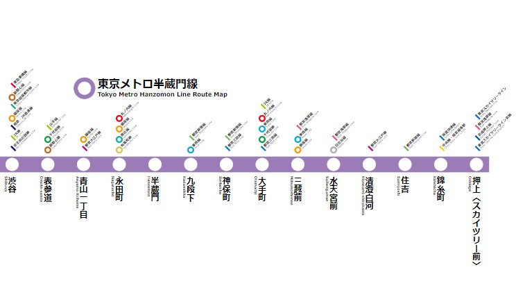 TYPE-C
 Create a wide-area route map
You can create a wide-area route map that arranges Nankai Main Line, Airport Line stations on the map. In addition to the Nankai Main Line, Airport Line, combinations of multiple routes are also possible. Please use it when you want to highlight multiple routes on the map.
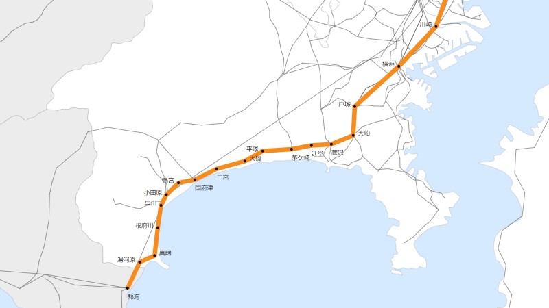 Create a wide-area route map
 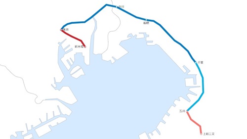 Create a transit map